Report ID: SQMIG45H2096
Skyquest Technology's expert advisors have carried out comprehensive global market analysis on the land survey equipment market, covering regional industry trends and market insights. Our team of analysts have conducted in-depth primary and secondary research to provide regional industry analysis and forecast of land survey equipment market across North America, South America, Europe, Asia, the Middle East, and Africa.
Based on global land survey equipment market outlook, North America leads the industry due to technological advancements (AI-powered data processing and robotic total stations), infrastructure development(highway & road expansion projects and renewable energy projects), and increasing demand for geospatial data. The region experiences widespread use of GNSS systems, LiDAR, and drone surveying, prompted by construction, energy, and transportation infrastructure projects. Investments by governments in smart cities, defense mapping, and land management also spur market growth, establishing the area region as a center of innovation in land surveying technology. Increased infrastructure modernization projects, such as highways, bridges, and city planning, spur demand for high-tech surveying equipment to ensure accuracy, efficiency, and adherence to regulatory standards. Sawback Technologies, Spexi Geospatial, and Advanced Navigation are the emerging companies that use AI, automation, and IoT to transform geospatial data acquisition, real-time processing, and survey accuracy in North America.
The U.S. dominates the market with its large-scale infrastructure projects, defense mapping, and smart city initiatives. The nation is heavily investing in LiDAR, GNSS, AI-powered automation, and drone surveying for construction, energy, and transportation applications. Government agencies such as NASA, USGS, and DOT aid geospatial data acquisition and land mapping innovation.
With vast natural resources and rugged landscapes, Canada relies on high-precision surveying for mining, forestry, and environmental monitoring. It is a world leader in geospatial innovation, with government-sponsored initiatives in land management, climate science, and infrastructure. Subsurface sensing and drone-based mapping technology is further advancing with organizations such as Sawback Technologies, which is driving market expansion.
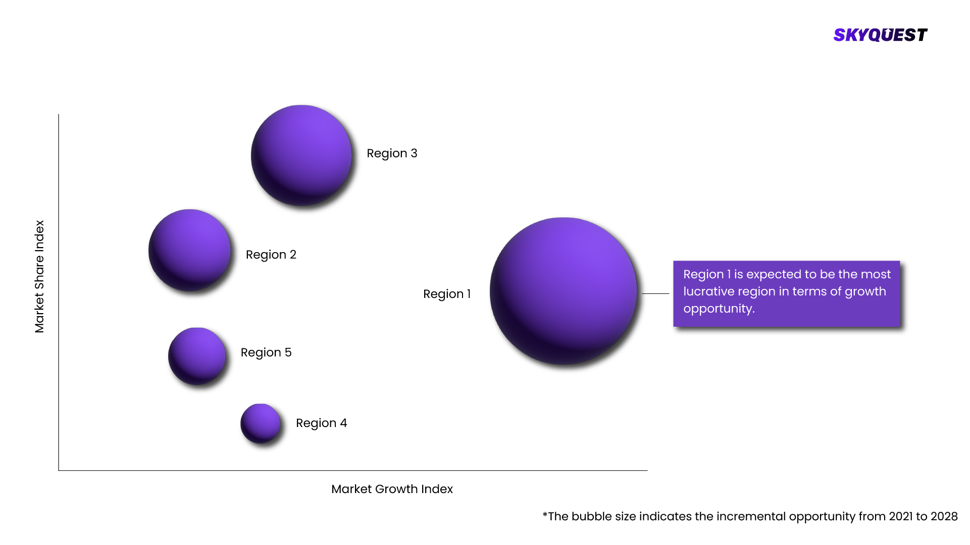
Europe is the fastest growing region in the global land survey equipment market, driven by infrastructure modernization, smart city projects, and stringent land regulations. The region is a leader in GNSS, LiDAR, and AI-based surveying technologies, commonly applied in construction, urban planning, and environmental monitoring. The Europe land survey equipment market is driven by the increasing adoption of unmanned aerial vehicles (UAVs) and advancements in terrestrial laser scanners. Geospatial EU-funded projects and investments in renewable energy, transport, and defence mapping further drive market growth, making Europe the center for innovative surveying technology. Europe's robust regulatory framework for land administration and environmental observation is fueling demand for precision land survey instruments to ensure compliance, accuracy, and sustainability. NavVis, GeoSLAM, and Septentrio are becoming leaders in 3D mapping, mobile LiDAR scanning, and high-accuracy GNSS solutions, revolutionizing surveying use in construction, mining, and urban planning.
A global leader in precision engineering and geospatial technologies, Germany excels in GNSS, LiDAR, and autonomous surveying solutions. The nation's smart infrastructure development, green energy expansion, and stringent land regulation policies create the need for precision land survey instruments. Trimble Germany and Leica Geosystems are at the forefront of AI-powered geospatial mapping and 3D laser scanning.
The UK plays a crucial role in geospatial intelligence, construction tech, and environmental surveying. Government-driven initiatives such as the Geospatial Commission and National Underground Asset Register (NUAR) stimulate demand for the market. Firms such as GeoSLAM and OxTS are pushing the boundaries in mobile LiDAR scanning, autonomous navigation, and digital twin technology for use in urban planning, infrastructure monitoring, and climate change mitigation.
Asia Pacific is witnessing rapid growth in the global land survey equipment market, fueled by massive infrastructure projects, smart city initiatives, and expanding construction activities. The nations of China, India, Japan, and Singapore are embracing GNSS, LiDAR, and drone-based surveying for urban planning, transportation networks, and monitoring of the environment. Government investment in geospatial mapping, land management, and disaster resilience adds further vigor to market demand, making the region a focal point for technological developments in surveying. Asia Pacific's fast-paced urbanization and infrastructure growth, such as smart cities, high-speed rail, and megaprojects, are strongly driving demand for high-precision land survey equipment and geospatial technologies. Startups including Hi-Target (China), Garuda Robotics (Singapore), and NeoGeoInfo (India) are transforming land surveying with AI-based mapping, geospatial solutions via UAVs, and real-time 3D modeling for multiple industries.
Japan is at the forefront of automation and robotics in land surveying, integrating AI, LiDAR, and GNSS into smart construction and disaster management. High-accuracy surveying technologies are stimulated by the country's infrastructure resilience initiatives, urban renewal, and precision agriculture. Topcon and Nikon-Trimble are pioneering autonomous land survey systems and AI-based geospatial mapping.
As a smart city pioneer, Singapore leverages IoT, AI, and cloud-based geospatial solutions for urban planning, infrastructure monitoring, and digital twin technology. Government-initiated projects such as Virtual Singapore are leading the high-precision GNSS, LiDAR, and drone mapping adoption. Autonomous surveying solutions are the focus of startups such as Garuda Robotics, which improve construction, real estate, and environmental monitoring applications.
REQUEST FOR SAMPLE
Global Land Survey Equipment Market size was valued at USD 9 Billion in 2023 poised to grow from USD 9.47 Billion in 2024 to USD 14.20 Billion by 2032, growing at a CAGR of 5.2% in the forecast period (2025-2032).
The competitive landscape of the global land survey equipment market is driven by rapid technological advancements, strategic collaborations, and product innovations. Firms are spending on AI-enabled mapping, GNSS technology, UAV surveying, and automation to become industry leaders. Market leaders are Trimble Inc., Hexagon AB, Topcon Corporation, Leica Geosystems, and South Surveying & Mapping Technology. These players specialize in high-accuracy geospatial solutions, cloud-enabled data processing, and advanced automation to address the increasing demands of the industry. New players like Sawback Technologies and Spexi Geospatial are providing innovative solutions, creating stiff competition in the market, and redefining surveying practices in various industries. 'Trimble Inc. (USA)', 'Leica Geosystems (Hexagon AB) (Switzerland)', 'Topcon Corporation (Japan)', 'Sokkia (Topcon Group) (Japan)', 'Spectra Geospatial (Trimble Inc.) (USA)', 'CHCNAV (Shanghai Huace Navigation Technology Ltd.) (China)', 'Stonex Srl (Italy)', 'South Surveying & Mapping Technology Co., Ltd. (China)', 'Hi-Target Surveying Instrument Co. Ltd. (China)', 'Nikon-Trimble Co., Ltd. (Japan)', 'GeoMax (Hexagon AB) (Switzerland)', 'Carlson Software (USA)', 'FOIF (Suzhou FOIF Co., Ltd.) (China)', 'RIEGL Laser Measurement Systems GmbH (Austria)', 'Javad GNSS Inc. (USA)'
The growing demand for high-precision geospatial data has accelerated the adoption of GNSS and LiDAR-based surveying equipment. These technologies offer real-time, centimeter-level precision, which is necessary for sectors such as construction, transportation, and disaster response. Their capacity to map complex topographies, enhance project efficiency, and minimize errors is fueling market expansion.
What Technologies are Driving Land Surveying Advancements in North America?
Want to customize this report? This report can be personalized according to your needs. Our analysts and industry experts will work directly with you to understand your requirements and provide you with customized data in a short amount of time. We offer $1000 worth of FREE customization at the time of purchase.
Feedback From Our Clients
Report ID: SQMIG45H2096
[email protected]
USA +1 351-333-4748