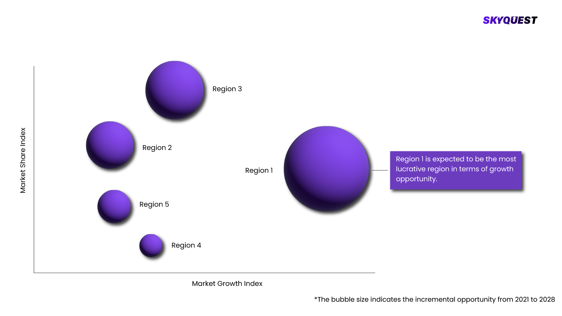
Geographic Information System Market Regional Analysis

Skyquest Technology's expert advisors have carried out comprehensive global market analysis on the geographic information system market, covering regional industry trends and market insights. Our team of analysts have conducted in-depth primary and secondary research to provide regional industry analysis and forecast of geographic information system market across North America, South America, Europe, Asia, the Middle East, and Africa.

Geographic Information System Market Regional Insights

How is GIS Transforming Urban Planning and Sustainability in Europe?

The European geographic information system (GIS) market is expected to total USD 3.63 billion in 2024 and is expected to evolve immensely in the coming few years. Technological advancements, increasing demand for spatial analytics, and the extensive application of GIS in resource planning and urban growth are the chief drivers of the market. GIS systems are being utilized by public and commercial organizations for disaster management, environmental observation, and infrastructure construction. In addition, cloud GIS systems and artificial intelligence support are accelerating market development across the region.

UK Geographic Information System Market

The UK GIS market is expected to grow exponentially during the forecast period because of increasing usage in a range of industries, such as environmental monitoring, urban planning, and transportation. GIS technology is enhancing decision-making and operational effectiveness by being incorporated into infrastructure and smart city projects. For instance, Esri UK in April 2024 said it will use its GIS technology to create a geospatial platform for London Gatwick Airport. By improving asset management, real-time monitoring of infrastructure, and passenger navigation, this platform will optimize airport operations and demonstrate how GIS has transformed the modernization of critical infrastructure in the UK.

France Geographic Information System Market

The GIS market in France is rapidly increasing, primarily due to urban development and efforts to preserve the environment. GIS and geospatial technology investment in both public and commercial institutions are being strongly bolstered with investments to support more effective urban development and build a more climate-resilient society. Panoramax, the open-source street-level imaging system developed in association with OpenStreetMap France, was launched by the National Institute of Geographic and Forest Information (IGN) in 2024. This initiative provides municipal planners with geospatial information of high resolution, facilitating improved decisions on sustainable infrastructure projects. France is promoting innovation in environmental sustainability, smart city planning, and disaster management by making geographic data more accessible, which makes GIS an important tool for the development of the country.

What are the Major Innovations Driving GIS Growth in Asia-Pacific?

As a result of growing investments in smart city development, environmental management, and urban planning, the Asia-Pacific GIS market is growing rapidly. GIS is utilized by the public and business sectors for infrastructure development and disaster management. For instance, in July 2024, a Memorandum of Understanding (MoU) was inked between Esri India and the Rajasthan Centre of Advanced Technology (R-CAT) to offer youth cutting-edge GIS learning opportunities. Through enhanced skill development and ensuring a workforce with GIS technology skills, this initiative aims to speed up the region's geospatial information and digital adoption.

India Geographic Information System Market

Government policies and advances in spatial data analytics are propelling the huge growth of the GIS sector in India. The demand for geospatial technology is being fueled by the application of GIS into disaster management, agriculture, and infrastructure development. The "Indo ArcGIS Business Analyst," a full location intelligence solution designed to enable government agencies to make data-driven, informed decisions, was launched by Esri India in September 2024. It is expected that this innovation would enhance public administration, resource management, and urban planning, underlining the increasing importance of GIS in India's digital and economic development.

Japan Geographic Information System Market

The GIS market in Japan is growing consistently with advancements in precision agriculture, disaster response, and smart city initiatives. The country is applying GIS technology to emergency response systems, transport management, and urban planning. The Tokyo Metropolitan Government and GIS vendor Pasco Corporation collaborated in August 2024 to develop a real-time catastrophe prediction and response system using AI-driven GIS analytics. This initiative illustrates Japan's commitment to applying geospatial intelligence towards public safety and urban resilience through enhanced earthquake readiness, flood observation, and evacuation planning.

What Are Key Trends Shaping GIS Market in North America?

Increasing demand for geospatial data in infrastructure planning, environmental monitoring, and city planning is propelling the rapid growth of the North American GIS market. GIS is applied by both the public and private sectors for smart cities initiatives, transportation planning, and disaster management. Geospatial information is increasingly getting more accessible and usable as a result of increasing integration with cloud technology and AI, enhancing analytical power. With a range of initiatives that focus on resource planning, public safety, and climate observation, the US and Canada are setting the pace in using GIS, driving innovation and industry growth in the field.

U.S. Geographic Information System Market

GIS technology is utilized extensively by United States federal and state agencies for activities such as the construction of infrastructures, monitoring of public health, and response to disasters. Decision-making is becoming more informed due to the integration of GIS with innovative technologies such as artificial intelligence and the Internet of Things (IoT). To enhance the efficiency of emergency response, the Federal Emergency Management Agency (FEMA), for instance, applies GIS to real-time catastrophe mapping and resource deployment.

Canada Geographic Information System Market

The Canadian market for GIS is also growing considerably, particularly in environmental conservation and natural resource management. GIS is being utilized by the public and corporate sectors to monitor wildlife populations, natural disasters, and forest health. To enhance data gathering for the monitoring of wildfires and other environmental crises, Canada in 2024 announced it will spend Canadian Dollar 1.01 billion over 15 years on satellite technology. Canada's commitment to applying geospatial technology towards environmental protection and sustainable growth is evidenced in this spending.

REQUEST FOR SAMPLE

Want to customize this report? REQUEST FREE CUSTOMIZATION

FAQs

Global Geographic Information System (GIS) market size was valued at USD 9.80 Billion in 2023 and is poised to grow from USD 10.65 Billion in 2024 to USD 20.76 Billion by 2032, growing at a CAGR of 8.7% in the forecast period (2025-2032).

Key competitors in the payment orchestration platform market are emphasizing the creation of technological innovations, strategic collaborations, and enhancing the global footprint. Continuous investment in research and development activities is attracting new-generation payment orchestration platforms. Leading players are entering into collaborations with other companies to expand their product offerings and reach more consumers. Further, merger and acquisition strategies are being adopted by top industry players in order to rake in enormous profits. Acquisition of smaller companies possessing cutting-edge technology neutralizes research investment and brings in maximum sources of revenue. 'alertMedia', 'Esri', 'Trimble', 'Autodesk Inc.', 'Bentley Systems Incorporated', 'Caliper Corporation (PSI Services LLC)', 'Computer Aided Development Corporation Limited (Cadcorp)', 'Environmental Systems Research Institute Inc.', 'General Electric Company', 'Geosoft Inc. (Seequent Ltd.)', 'Hexagon AB', 'Maxar Technologies Inc.', 'SuperMap Software Co. Ltd.', 'Topcon Corporation'

Natural disasters as a result of environmentally caused change-based natural catastrophes are becoming increasingly encouraging frequent application of GIS for responding to emergencies and evaluating danger. GIS technology is furthermore inevitable for assessment of climatic data and predication of pending threat and disaster response activities management. Convergence with the Internet of Things technology, it can increase facilitation towards usage of the system in the administration of disasters, too.

Expansion of Cloud-Based GIS Applications: With governments and enterprises looking for scalable, real-time geospatial intelligence, cloud GIS solutions are increasingly popular. Hexagon AB and Google Cloud enhanced their GIS-as-a-Service features in 2025, supporting better collaboration and remote access. By delivering real-time location data without needing large amounts of on-site hardware, cloud GIS augments disaster relief, logistics, and farming while making geospatial data more efficient and accessible in numerous industries.

How is GIS Transforming Urban Planning and Sustainability in Europe?

Request Free Customization

Want to customize this report? This report can be personalized according to your needs. Our analysts and industry experts will work directly with you to understand your requirements and provide you with customized data in a short amount of time. We offer $1000 worth of FREE customization at the time of purchase.

logo-images

Feedback From Our Clients

Global Geographic Information System Market
Geographic Information System Market

Report ID: SQMIG45A2581

[email protected]
USA +1 351-333-4748

BUY NOW GET FREE SAMPLE